
State-Of-The-Art 3D Reality Capture
Welcome to Lidar Precise Plans, where innovation meets precision. As an industry-leading 3D survey company, we leverage the most advanced technology to deliver top-notch services. One of our most exciting new offerings is our Reality Capture service, revolutionizing the as-built survey industry, and providing a level of detail and accuracy beyond what was previously thought possible. Experience it for yourself today!
Discover the World of Reality Capture
Reality Capture is a game-changer. This photogrammetry software solution creates highly accurate 3D models from photographs or laser scans, transforming the way we understand and interact with physical spaces. The technology we use here at Lidar Precise Plans makes it possible to digitally recreate every inch of a site, ensuring precise measurements for the creation of meticulous as-built plans.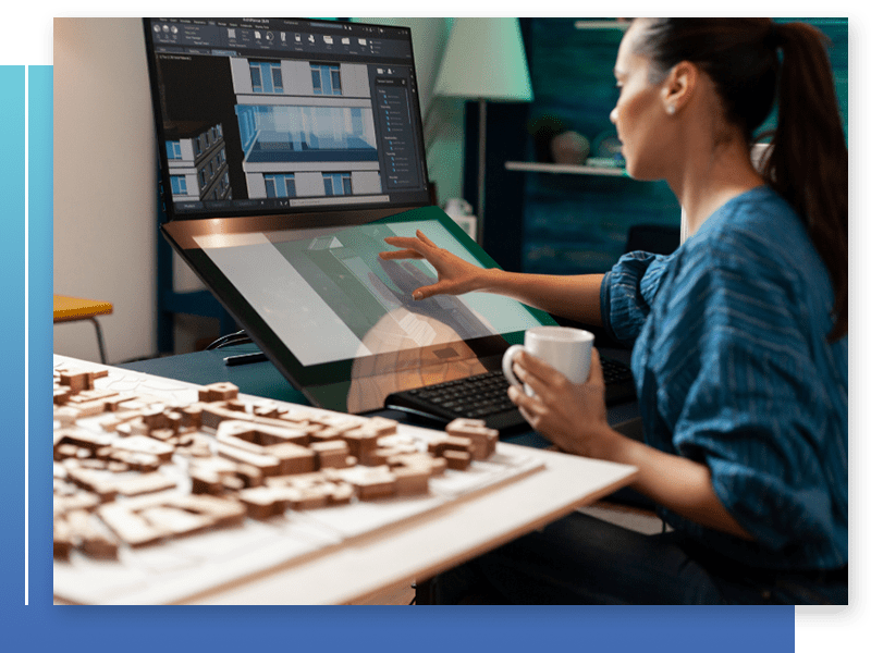
A Glimpse Inside How It Works
Our process is a blend of precision, technology, and efficiency:
Planning:
This is the first step in the process and involves determining the scope and requirements of the project. We will identify which areas of the building need to be captured, define the level of detail required, and decide on the suitable technology to use.
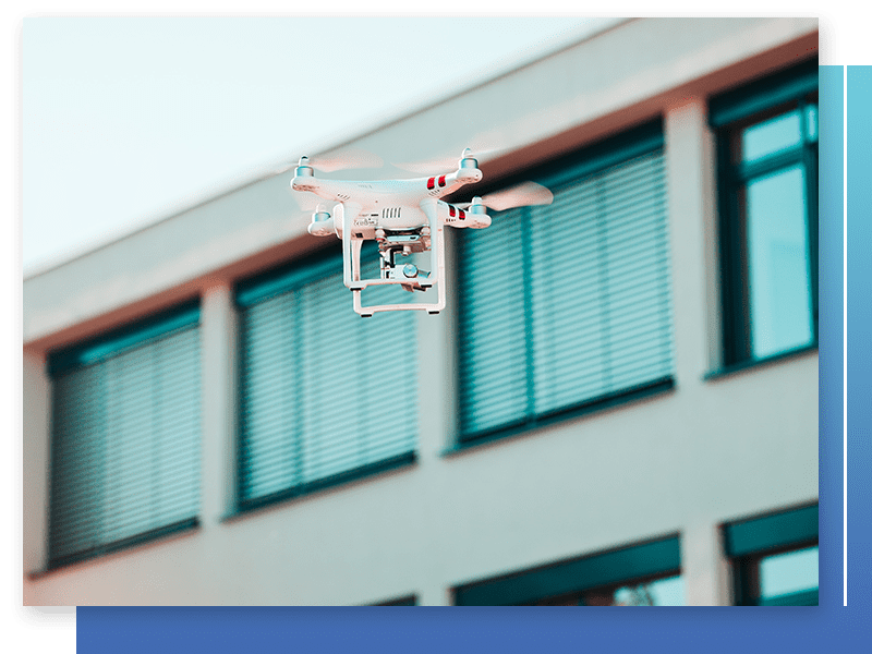
Data Collection:
The building or site is then scanned using either a 3D laser scanner using laser pulses to determine distance or a drone equipped with a camera for photogrammetry, which involves taking numerous overlapping photos of the building from different angles.
Data Processing:
Once the data has been collected, it is processed using our specialized software to turn it into a usable form. For laser scanning, this typically involves a process known as registration, where the individual scans are aligned with each other to form a coherent model. For photogrammetry, the photos will be processed using our specialized software to build a 3D model.
Modeling: :
After the data is processed, we then use that processed data to create a detailed 3D model of the building. Depending on the software used, this can be a simple point cloud model, or it can be a more detailed BIM (Building Information Modeling) model that includes not just the physical structure of the building but also information about the building's systems and components.
Analysis and Implementation:
The final 3D model can then be used for a variety of purposes, such as designing renovations or additions to the building, planning construction activities, conducting structural analyses, managing building operations, or creating virtual tours for marketing purposes.
The Unmatched Benefits of Reality Capture
Reality Capture brings a plethora of benefits that set us apart as an as-built survey company:
- Superior Accuracy: With photo-to-point cloud creation and laser scanning, Reality Capture delivers incredible detail, preventing costly rework down the line.
- Efficiency: The process significantly reduces labor costs by digitizing the surveying and documentation process.
- Reduced Manual Effort: With detailed digitized data at our fingertips, our team can focus on identifying potential challenges rather than the tedious manual capture process.
- 3D Design Capability: Reality Capture acts as a bridge to an intelligent BIM environment, leading to substantial time savings in the design and construction phases.
Our Unique Reality Capture Process
At Lidar Precise Plans, we understand that every project is unique. That’s why our dedicated team is committed to tailoring our process to meet your specific requirements. We work closely with you to determine the level of detail you need and adapt our scanning and modeling process accordingly.
While the time taken can vary based on the site’s size and complexity, we pride ourselves on our efficiency. Often, a site can be scanned in less than a week, and once the reality capture is complete, we begin building the model right away. We are committed to delivering highly accurate 3D models on time, every time.

Take the Leap with Lidar Precise Plans
Dive into the future of as-built surveys with our cutting-edge Reality Capture service. Allow Lidar Precise Plans, a premier 3D survey company, to take your project to the next level with our unparalleled accuracy and efficiency. Let’s bring your vision to life with unmatched precision and detail. Contact us today and experience the Lidar Precise Plans difference.
Working with us is easy
with our Signature Process
1. Determining Appropriate Scope
In your initial consultation, we carefully assess your goals to make sure you only pay for what you need.
2. Setting Reliable Timelines
Source your drawings on a fast, reliable schedule. We’ll keep you on time and on budget.
3. Delivering Accurate Results
Receive LiDAR-based, expertly-reviewed drawings which keep the momentum of your client’s project moving forward.