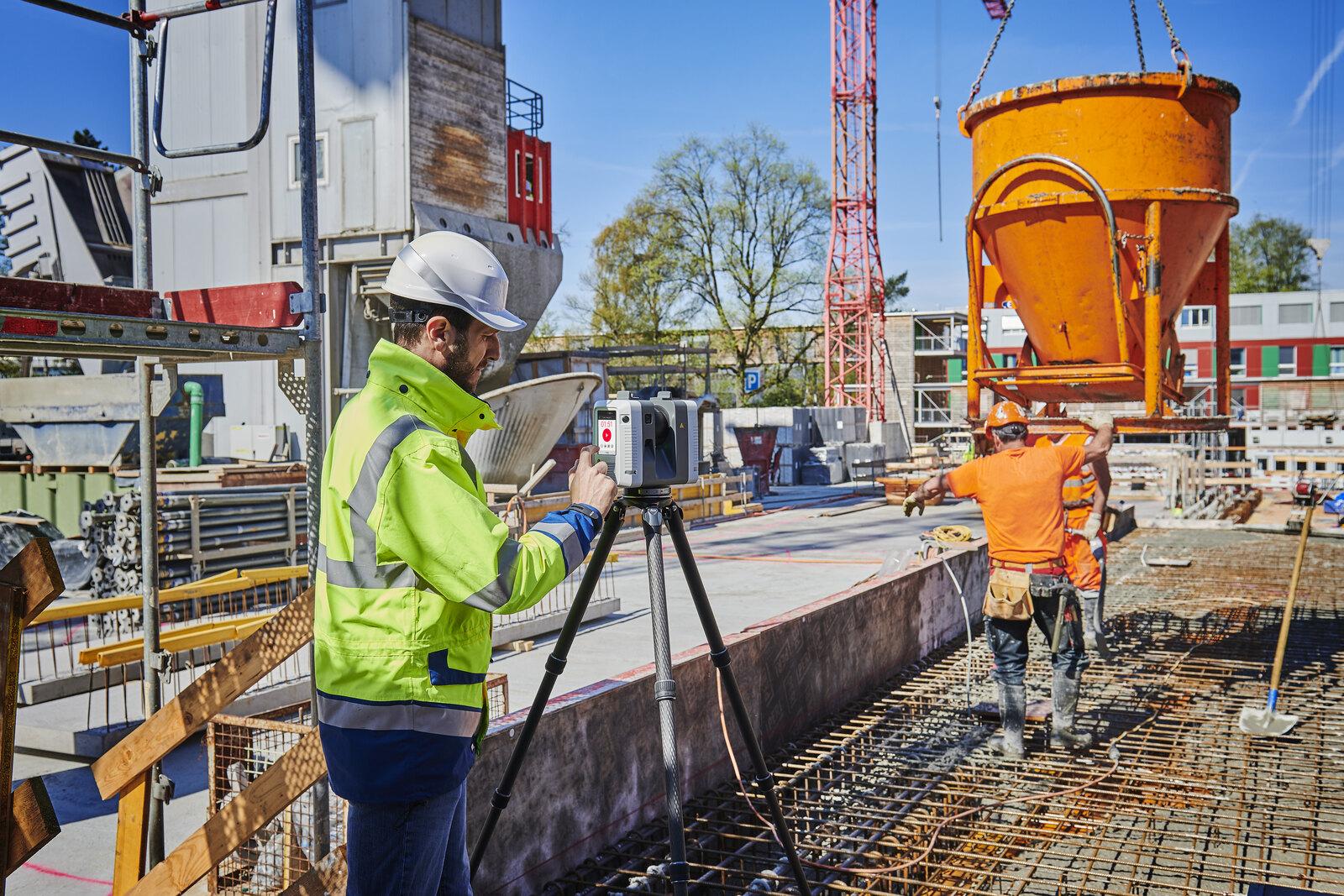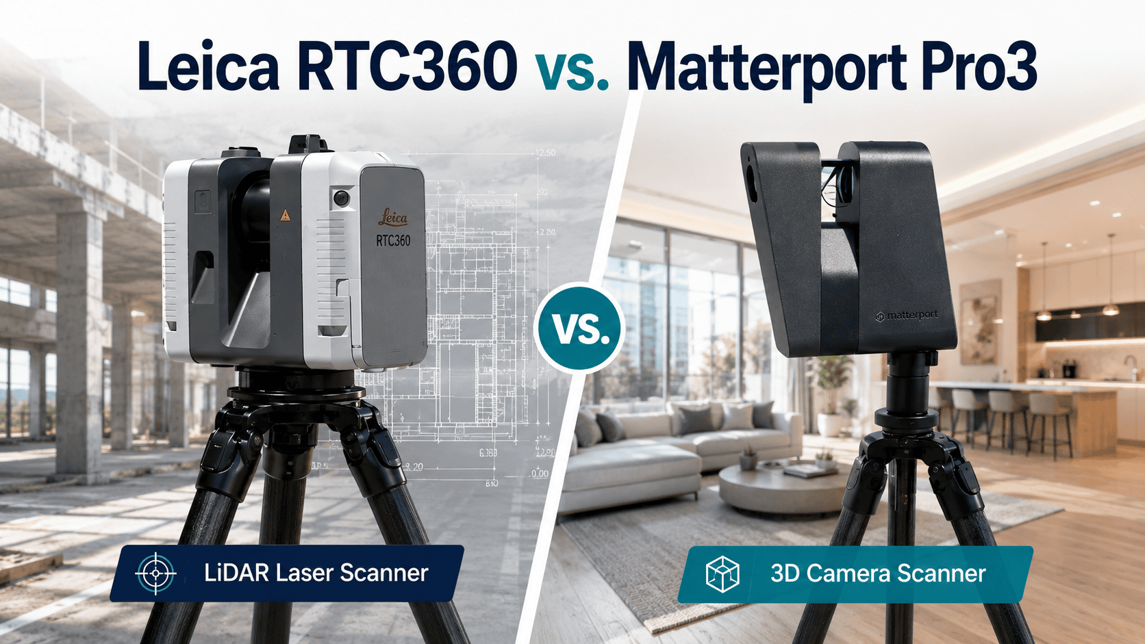


You have a historic building to document and an SHPO deadline closing in. The original drawings are incomplete, field measurements conflict, and the design team is stalled on verified existing conditions. LiDAR as-built drawings for historic preservation projects resolve that in a single field session: 3D laser scanning for historic buildings captures every wall, arch, ornamental detail, and structural element at plus or minus 2mm, then converts the registered point cloud into the measured drawings, CAD files, and Revit models required for HABS documentation, Section 106 compliance, and adaptive reuse design. Scan to deliverable: 5 to 14 business days.
Quick Answer:
LiDAR as-built drawings for historic preservation projects use non-contact 3D laser scanning to create highly accurate measured drawings, CAD files, point clouds, and Revit models for HABS documentation, Section 106 compliance, and adaptive reuse projects. Most historic structures can be scanned and delivered within 5 to 14 business days at ±2mm accuracy.
Why Hand Measurement and Traditional Surveys Fall Short on Historic Structures
Hand measurement and architect-led field surveys consistently fail to capture the geometry that makes historic structures difficult to document accurately: the drift in a masonry wall, the deflection of a century-old timber frame, the true profile of a plaster vault, the spatial relationship between original fabric and later additions. A tape measure records a linear dimension. It cannot record a surface.
The result is as-built drawings that approximate rather than verify existing conditions. For historic building documentation submitted to HABS, HAER, or a state historic preservation office, approximation is grounds for resubmittal. For an adaptive reuse team routing MEP through a 1920s industrial building in Los Angeles or San Francisco, it is a field conflict budgeted at $40,000 to $120,000 to resolve. LiDAR produces a registered point cloud containing every dimension the structure possesses. No return visits. No measurement gaps. No field judgment calls about what to skip. For preservation architects and heritage restoration teams working against SHPO deadlines, this is a different class of documentation.
The table below compares the four documentation approaches used on historic properties today.
| Documentation Method | Accuracy | Turnaround | Captures Curved / Ornamental Geometry | Meets HABS / Section 106 |
| Traditional hand measurement | ±10 to 25mm | 2 to 4 weeks | No | Rarely is accuracy sufficient |
| Architect-led field survey | ±5 to 15mm | 1 to 3 weeks | Partially | Depends on the surveyor and the scope |
| Photogrammetry | ±5 to 10mm | 1 to 3 weeks | Exterior only | Partial, interior gaps common |
| LiDAR 3D laser scanning | ±2mm / 1/8 inch | 5 to 14 business days | Yes, full interior and exterior | Yes, meets and exceeds standards |
Federal Standards for Historic Preservation Documentation
Most project teams encounter HABS, HAER, or Section 106 requirements without a complete picture of what those standards actually specify. The National Park Service administers HABS and HAER under the National Historic Preservation Act of 1966 (16 U.S.C. 470 et seq.). The Advisory Council on Historic Preservation oversees Section 106 compliance under 36 CFR Part 800 (achp.gov). Here is what each framework requires and how LiDAR as-built drawings for historic preservation projects satisfy those requirements.
HABS and HAER Measured Drawing Standards
HABS (established 1933) and HAER (established 1969) both require measured drawings at specified scales, archival photography, and written historical documentation submitted to the Library of Congress. HABS Level I demands dimensional accuracy consistent with professional architectural drafting standards. HAER applies the same framework to bridges, industrial plants, and infrastructure.
LiDAR-derived measured drawings meet and exceed both standards. The scan captures existing conditions at plus or minus 2mm across the entire structure. Plans, elevations, sections, and details from the point cloud are fully traceable to field-collected geometry, including deteriorated fabric, complex ornamental features, and structurally irregular elements that hand measurement cannot document at equivalent accuracy.
Section 106 Recordation and State Landmark Requirements
Section 106 of NHPA requires federal agencies and federally funded or permitted projects to document adverse effects on historic properties before proceeding. Mitigation typically means recordation: measured drawings, photographs, and written documentation produced before alteration or demolition. SHPOs negotiate scope on a property-by-property basis.
LiDAR-based as-built drawings for historic preservation satisfy Section 106 requirements comprehensively. Beyond federal programs, state and local landmark commissions in California, Nevada, Arizona, and Colorado require existing conditions drawings before any permit for alteration advances. LiDAR as-built drawings carry inherent credibility with reviewers: they are derived from a non-contact survey that can be independently verified against the full point cloud data.
Scan-to-BIM for Heritage Conservation, Restoration Planning, and Adaptive Reuse
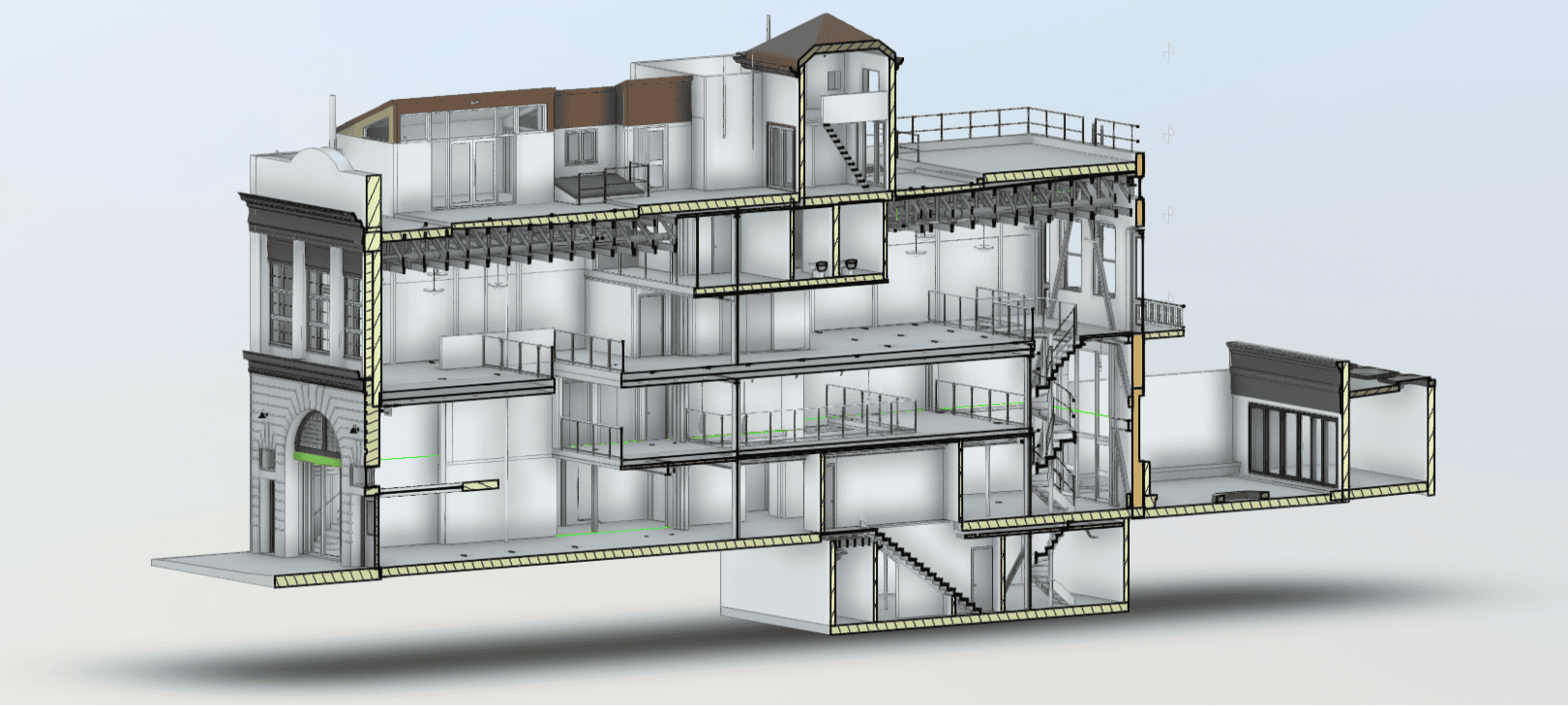
Scan-to-BIM for historic preservation extends the scan beyond compliance. Preservation architects and conservation consultants working on heritage restoration projects need a Revit model of the structure as it currently exists, not as it was designed. Original documents show intent from 60 to 150 years ago. They do not reflect what settlement, alteration, deferred maintenance, and incremental renovation have made of the building. A Revit as-built from LiDAR scan data captures the structure as it stands: actual wall thicknesses, real column positions, true floor-to-floor heights, MEP infrastructure, and ornamental geometry at a resolution that supports material condition assessments, structural analysis, and millwork reproduction. The full design team, including structural, MEP, and preservation architect, coordinates against verified field data.
For adaptive reuse projects converting historic warehouses, hotels, or industrial buildings in Los Angeles, Las Vegas, or Denver, the Scan-to-BIM model eliminates the field conflicts that surface when design was built on incomplete existing conditions. Clash detection runs against actual geometry. Cultural resource documentation produced from the model satisfies compliance requirements at any LOD.
The Field Workflow: From Site Access to Verified As-Built Drawings
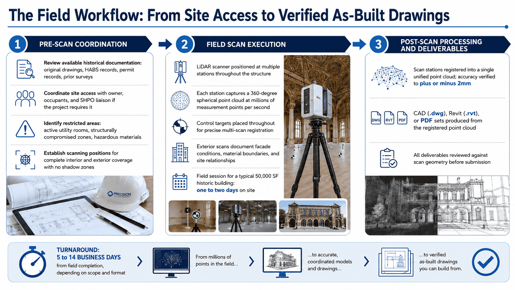
Pre-Scan Coordination:
- Review available historical documentation: original drawings, HABS records, permit records, prior surveys
- Coordinate site access with owner, occupants, and SHPO liaison if the project requires it
- Identify restricted areas: active utility rooms, structurally compromised zones, hazardous materials
- Establish scanning positions for complete interior and exterior coverage with no shadow zones
Field Scan Execution:
- LiDAR scanner positioned at multiple stations throughout the structure
- Each station captures a 360-degree spherical point cloud at millions of measurement points per second
- Control targets placed throughout for precise multi-scan registration
- Exterior scans document facade conditions, material boundaries, and site relationships
- Field session for a typical 50,000 SF historic building: one to two days on site
Post-Scan Processing and Deliverables:
- Scan stations registered into a single unified point cloud; accuracy verified to plus or minus 2mm
- CAD (.dwg), Revit (.rvt), or PDF sets produced from the registered point cloud
- All deliverables reviewed against scan geometry before submission
- Turnaround: 5 to 14 business days from field completion, depending on scope and format
For cultural resource documentation and heritage restoration work, this workflow eliminates the gap between what was measured in the field and what the drawings need to show. Details undiscovered during the site visit remain fully measurable from the scan data, a decisive advantage on historic properties where undiscovered conditions are the rule, not the exception.
What Poor Documentation Actually Costs on a Historic Preservation Project
Field conflicts discovered during construction cost 20 to 30 times more to resolve than conflicts identified during design. On historic properties, where opening a wall can reveal asbestos, unexpected structural conditions, or original fabric that cannot be disturbed without SHPO approval, the multiplier is substantially higher. A conflict during demolition on a historic hotel in Las Vegas or a warehouse adaptive reuse in Los Angeles is not a $2,000 RFI. It is a $40,000 to $150,000 problem, depending on what is inside the wall.
| Rework Scenario | Typical Cost Impact |
| Field conflict during demolition | $15,000 to $80,000 in abatement and structural remediation |
| Inaccurate existing conditions on permit drawings | $5,000 to $30,000 in plan check resubmittals and redesign |
| MEP routing conflicts in adaptive reuse | $20,000 to $120,000 in rerouting and schedule delays |
| HABS/HAER resubmittal due to accuracy failure | $8,000 to $25,000 in remeasurement and redrawing |
The investment in LiDAR as-built drawings for historic preservation projects for a 50,000 SF structure is a fraction of any single line item above. The scanning fee is not an added cost. It is the least expensive risk mitigation on the project.
How LiDAR Precise Plans Delivers Historic Preservation Documentation
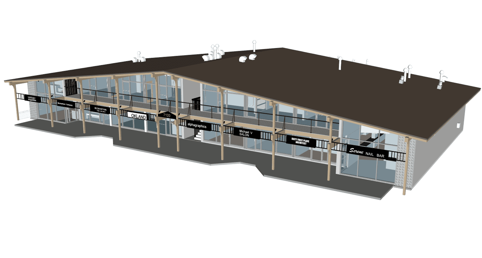
LiDAR Precise Plans has documented more than 4,200 buildings across the United States, including nationally designated historic properties, state and locally listed landmarks, adaptive reuse projects, and federal recordation assignments. Our field teams capture existing conditions at plus or minus 2mm. Our production team converts that scan data into HABS-compatible measured drawings, Scan-to-BIM Revit models, Scan-to-CAD floor plans, and registered point cloud deliverables in 5 to 14 business days. Quotes return within 24 hours.
We serve LiDAR as-built drawings for historic preservation projects in California (Los Angeles, San Francisco, Bay Area), Nevada (Las Vegas), Arizona (Phoenix, Scottsdale), Colorado (Denver), Utah (Salt Lake City), and Texas (Austin), and work with preservation teams nationally on HABS recordation, Section 106 compliance, and conservation planning documentation.
LiDAR Has Raised the Standard for Historic Building Documentation
Historic preservation has always demanded precision. LiDAR as-built drawings for historic preservation projects now deliver that precision faster, more completely, and at lower project cost than any previous method. HABS standards, HAER requirements, and Section 106 recordation obligations have not changed. What has changed is the technology available to meet them without compromising schedules, design accuracy, or compliance confidence. For preservation architects, GCs, and adaptive reuse teams, the question is no longer whether to use LiDAR. It is whether to document accurately before design starts, or pay to resolve the field conflicts that inaccurate documentation generates during construction.
Request LiDAR as-built drawings for historic preservation projects with plus or minus 2mm verified accuracy, HABS-compatible deliverables, and 5 to 14 business day turnaround. Quotes returned within 24 hours. Call 888-543-2711 or submit your project scope to LiDAR Precise Plans.